 Loading... Please wait...
Categories
 New Products
-
$4,800.00

-
$210.00

-
Garmin Fusion Signature Series 3 Wake Tower Mounting Brackets – Fixed Universal Mount – 010-12831-00$750.00

-
$75.00

-
$450.00

Our Newsletter



- Home
- Garmin Chartplotters
- Garmin GPSMAP 820xs (010-01180-01)
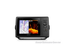
Garmin GPSMAP 820xs (010-01180-01)
Product Description
Brand New
Garmin GPSMAP 820xs
without Tranduser
(010-01180-01)
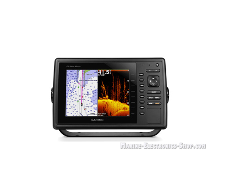
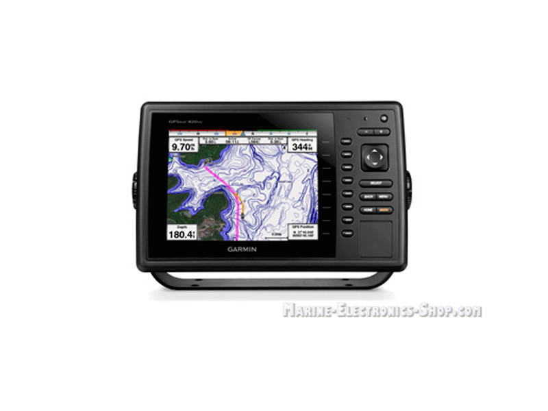
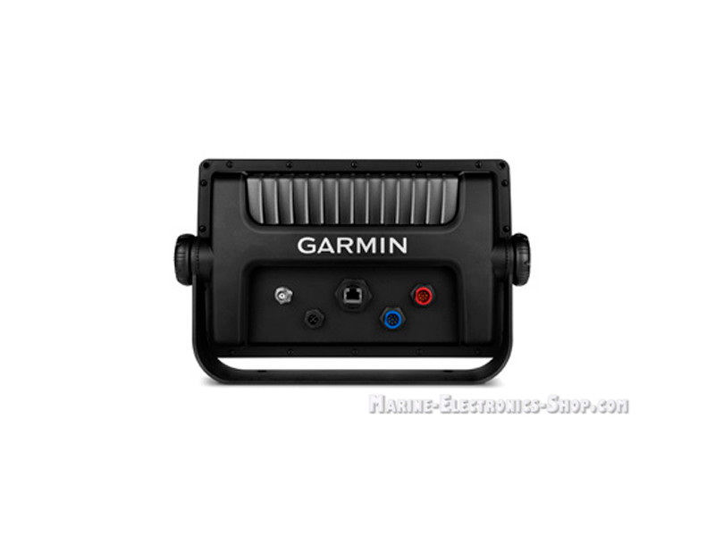
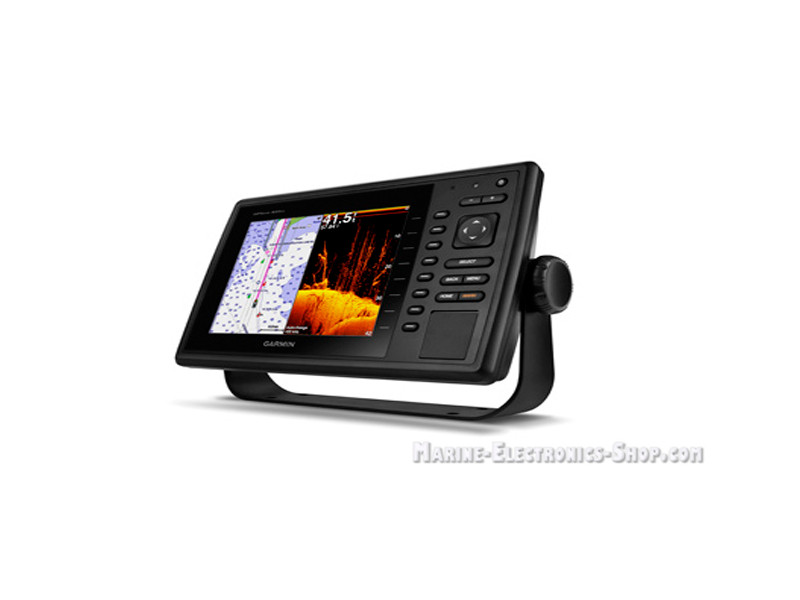
Garmin GPSMAP 820xs is a Garmin chartplotter and fishfinder with remote control and ports NMEA 0183. Also, GPSMAP 820xs is equipped with GLONASS and GPS-receiver, two sonars (traditional and scanning with CHIRP), supports the monitoring of ships by AIS alarm that tide tables and sonar data. Garmin GPSMAP 820xs chartplotter's color display has a diagonal size of 8", high contrast, providing excellent visibility of fish and bottom relief features. The display is equipped with the split screen and zoom.In the box - Garmin GPSMAP 820xs 01-01180-01 :
Description - Garmin GPSMAP 820xs 01-01180-01Garmin GPSMAP 820xs has a 8-inch display type SVGA. GPSMAP 820xs comes with a standard preloaded map of the world. The chartplotter has installed sonar HD-ID, CHIRP and sonar DownVü with CHIRP technology, so you can use an additional transducer. You also may connect your Garmin GPSMAP 820xs with a sonar unit GCV 10 for additional features. When used with a compatible transducer, CHIRP GPSMAP 820xs displays an approximate to the photographic image. You will be able to see every required area, hidden under the water. Special Garmin technology alowes to achieve maximum separation purposes on the screen: you get a high level of resolution even at great depths. Some frequencies can even help to determine the kind of a fish.
|
|||||||||||||
|
Features and benefits of Garmin GPSMAP 820xs 010-01180-01 Sonar OptionsGPSMAP 820xs has a built-in sonar functions. It can be used with an additional transducer types, including traditional model, CHIRP and versatile scanning sonar HD-ID / DownVü with CHIRP technology. If you decide to use a scanning sonar and DownVü SideVü ™ with CHIRP technology, it is also possible to add component GCV ™ 10 "black box" (sold separately). CHIRP technology Use GPSMAP 820xs with an additional transducer compatible with CHIRP technology for crisp, detailed images of underwater areas - places for fishing, diving, etc. Garmin CHIRP technology provides the highest level of resolution and separation goals (including at great depths). The special feature helps reduce the noise level and the bottom contours become clear. Since scanning is performed at different frequencies, you will be able to detect certain types of fish. In general, the image of underwater area becomes more informative, and increasing the safety of navigation and the efficiency of fishing. Information about the temperature of the water It is known that different types of fish prefer water at a certain temperature. Now you can increase the efficiency of fishing as follows: Set the desired range of water temperature on your Garmin GPSMAP 820xs, and the screen will show the field with an appropriate range. To use this feature requires additional equipment GXM ™ 52. Highly priemnik10 Hz GPS / GLONASS Garmin GPSMAP 830xs has a built-in receiver 10Hz GPS / GLONASS which updates the position data and direction 10 times per second. Therefore, the point that marks your current location will move smoothly across the screen, which guarantees high accuracy navigation and mark waypoints. NMEA 2000® format GPSMAP 820xs is compatible with the NMEA 2000 format, you can get access to various sources on board. You will see such valuable information as the Garmin autopilot data, motor data, meteorological data from the radar SiriusXM® etc. Garmin radar Garmin GPSMAP 820xs is compatible with different models of Garmin radar. You can connect the radar antenna or open a new model with radar radome xHD. Garmin network Connect your Garmin GPSMAP 820xs to the network so you will be able to it's functions in other devices. You will be available to radar data, the scanning sonar GCV 10 DownVü and SideVü, as well as additional mapping and user data (routes, waypoints and tracks). In this case the information entered in a chart plotter, and can automatically flow into other chartplotters connected to the network. Special functions for sailboats Chartplotter GPSMAP 820xs is suitable for use on motor and sailing vessels. The device includes special functions for sailboats - leylayna data, enhanced wind rose, the data fields with the direction of motion, course over ground and true wind direction, as well as control the tides / currents / time. GND ™ 10 "black box" Device GND 10 "black box" allows you to use the indicators and Nexus sensors (including wind sensors gWind ™ and gWind Race) in conjunction with Garmin equipment on your boat. This component performs data conversion between Nexus and the NMEA 2000 format The use of wind sensors Nexus gWind Sensors wind gWind, gWind Wireless and gWind Race are based on a modern design with a three-bladed propeller and double edge. These components are connected to the NMEA 2000 network and a Garmin chartplotter using GND 10 devices. BlueChart® Mobile app for Apple® devices You can create a sea routes on your iPad® or iPhone®, and then transfer them to your compatible Garmin GPSMAP 820xs over a wireless connection. To do this, you need to download the free mobile BlueChart Mobile app, access to which you can get through the App Store. This application will be useful even if you do not have the chart. Specifications - Garmin GPSMAP 820xs 01-01180-01 :
|
|||||||||||||||||||||||||||||||||||||||||||||||||||||||||||||||||||||||||||||||||||||||||||||||||||||||||||||||||||||

